![]()
![]()
Explore on foot
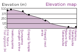
Ashiya/Suma/Arima — Mt. Yuzurihayama — Kinki Nature Trail signpost 34
— Empeiji Temple — JR/Hankyu Takarazuka Station
This hiking course will take you from the Kobe/Arima area to the city of Takarazuka via the highest peak of the Rokkō Mountains. What makes this route so special isn’t just the spectacular scenery; it’s also the prospect of winding down after your hike in the hot springs of Takarazuka Onsen. The JR and Hankyu stations offer an easy way to return to Kyoto, Osaka, or Kobe. The main hiking route to Takarazuka takes you through the mountains of Ōhirayama, Yuzurihayama, and Iwakurayama, past Empeiji Temple, and then down to the south end of Hōraibashi Bridge.
As a sub-route, we also recommend going from Kinki Nature Trail signpost 34 (which indicates the direction towards Yuzuriha-dai) to Mt. Gyōjasan and then to the eastern peak of Gyōjasan.
 Note: Sections of the route pass through residential areas. Please walk through quietly with consideration for local residents.
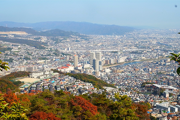
Facing north, your eyes fall upon the Takarazuka Grand Theater
Facing east, you can see the Takarazuka city hall in the middle as well as Kohamajuku beyond the Mukogawa River
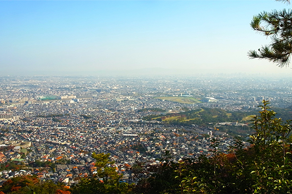
Facing southeast, the Hanshin Racecourse is visible
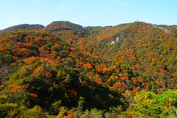
Facing west, the view takes in mountains with traverse trails
The eastern peak of Gyōjasan affords a 360-degree view of Takarazuka. To the west, you’ll see the mountains of Yuzurihayama and Iwakurayama. Stretching from north to south are the cities of Takarazuka and Nishinomiya, which fill in a wide panoramic view that also encompasses Osaka. This highly recommended viewpoint offers beautiful, uplifting, and exhilarating views.
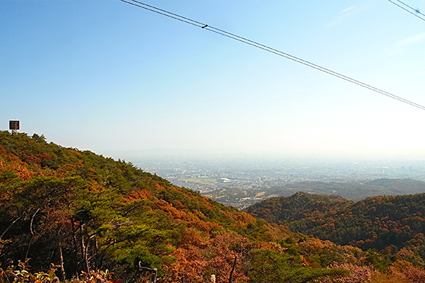
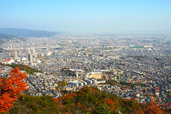
View from around the pylons (east side)
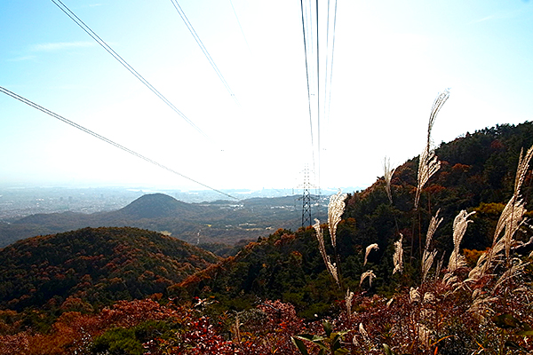
View from around the pylons (south side)
A short distance from the crossroads towards Empeiji Temple is a spot around the pylons that offers excellent views. Leave the mountains of the East Rokkō Traverse Trail and enjoy wide-open panoramas. The landmark you can see on the mountaintop to the left is a reflector board on Mt. Iwakurayama.
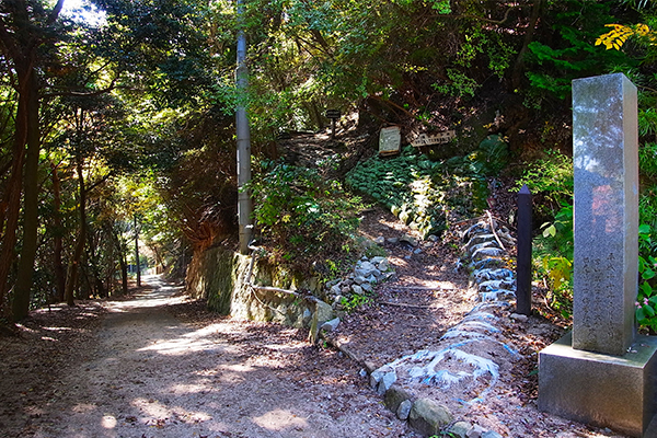
Paved path descending from Empeiji
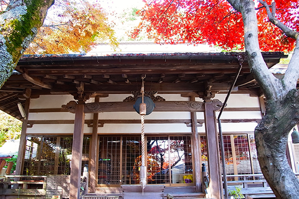
Empeiji Temple
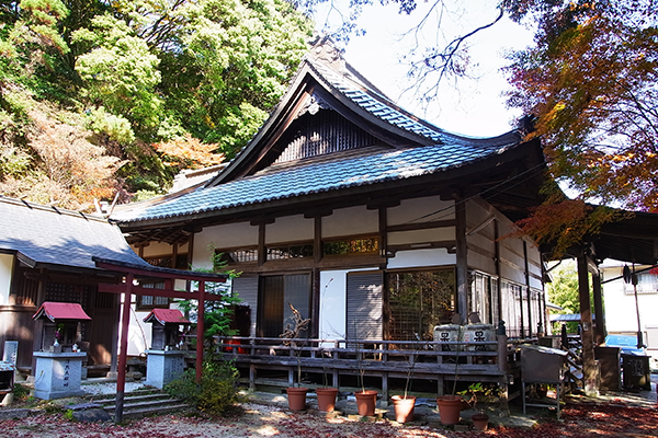
Empeiji Temple
Empeiji is where the eastern part of the Rokkō Traverse Trail starts and ends. According to an ancient legend, an old woman followed her vision of bathing in a hot spring beneath a large willow tree and was cured of her illness. Some believe that the hot spring in question was in the same location as the modern Takarazuka Onsen. It is said that the willow tree was used to carve a Kannon bodhisattva statue and that Empeiji was founded to enable worship of the statue.
View from the rest area of Empeiji
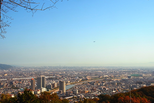
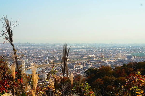
View of Osaka (Itami) Airport from the path to Empeiji
Descending from Empeiji Temple, you’ll come across several places that provide amazing wide-open vistas. Hike down at your own pace while appreciating this wonderful scenery.
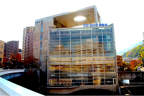
Nature Spa Takarazuka
After a good hike, relax in a Takarazuka onsen (hot spring). After coming down from Empeiji Temple, you’ll arrive at the south end of Hōraibashi Bridge, where you’ll find Nature Spa Takarazuka. There are two types of spring water here: the “gold” spring and the “silver” spring. This onsen is perfect for rejuvenating tired limbs.